Run the City. Color the Map. — Rings Territory Is Here
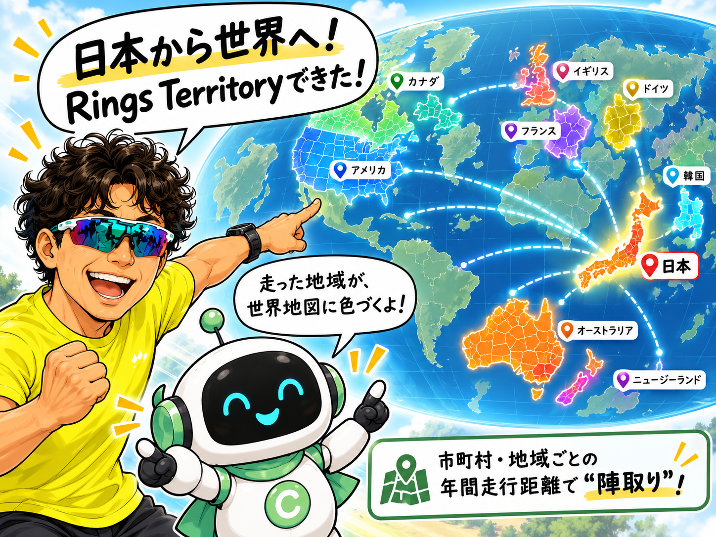
Runner’s Rings has a new feature: Rings Territory. It turns annual running distance within each city or region into a colorful territory map, showing the participating runner who has covered the greatest distance there. What started in Japan is now expanding to South Korea, the United States, the United Kingdom, Australia, Canada, France, Germany, and New Zealand.
A new feature has arrived in Runner’s Rings.
It is called:
Rings Territory.
In simple terms, it is a territory game for runners.
But it is not only about winning.
■ Who ran this city the most?
Rings Territory calculates the annual running distance recorded inside each city, municipality, or region from January 1 to December 31.
In Japan, for example, you can ask:
“Who has run the greatest distance in Maebashi this year?”
The map shows the answer.
A region is colored according to the runner currently leading there.
Tap a region and you can also see the top runners and their annual distance inside that area.
It is a little different from a simple distance ranking.
The city where you run every day.
A city you visited while traveling.
A place you passed through during a race.
Each one becomes part of the map of your running life.
■ Territory, without making winning the point.
Runner’s Rings is not designed to make first place the only goal.
The same idea applies to Rings Ranking.
Being number one is not the only thing that matters.
“Wow, that runner has covered a lot of this area.”
“If I run a little more, maybe I can move up here.”
“Maybe I’ll run into the next city next time.”
If another runner’s record gives someone a reason to go out and run again, that is enough.
That is what Rings Territory is for.
Participation is optional and OFF by default.
Only runners who choose to participate are included.
■ It started in Japan.
The first version of Rings Territory was built using Japanese municipalities.
Annual distance is calculated for each municipality.
Tap the map to see the leading runners.
As you run, more regions can gradually become part of your colored map.
Once the Japanese version started working, one thought came immediately:
“Could this work around the world too?”
■ Taking Rings Territory worldwide.
That was the beginning of international support.
In South Korea, the map uses cities, counties, and districts.
In the United States, it uses counties and independent cities.
In the United Kingdom, counties and unitary authorities are used.
Administrative regions differ from country to country.
But the idea stays the same:
“Who ran this region the most this year?”
Rings Territory currently supports:
🇯🇵 Japan
🇰🇷 South Korea
🇺🇸 United States
🇬🇧 United Kingdom
🇦🇺 Australia
🇨🇦 Canada
🇫🇷 France
🇩🇪 Germany
🇳🇿 New Zealand
■ More runners, more color.
Many countries and regions still have no participating runners.
So much of the map is still gray.
But when someone runs and joins Rings Territory, color begins to appear.
When another runner covers even more distance, the map changes again.
I do not yet know where the next colors will appear.
That is part of the fun.
Runner’s Rings is not just an app for saving distance.
The roads you run are engraved on the map,
and your effort builds up like growth rings.
Rings Territory is another way to enjoy those running rings.
More than rankings, it is about the life you run.
And from those running rings,
a wider circle of runners can grow around the world.
Rings Territory begins here.
Map the life you run.